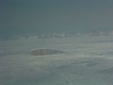
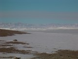
Hans Island in the center of the ice covered Nares Strait; Ellesmere Island is in the background.
|
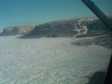
Northern Greenland, ice-covered Nares Strait is to the right, view is to the south.
|
|
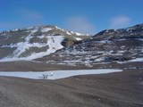
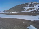
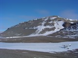
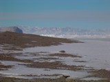
Searching for a landing site to investigate "camping" site for mooring recovery in 2005.
|
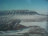
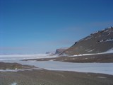
Northern Greenland with ice-covered Kennedy Channel, view is to the north.
|
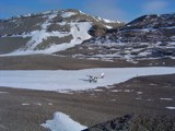
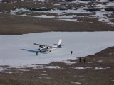
The Twin-Otter found a spot on Greenland near Kennedy Channel.
|
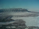
Crozier Island in Kennedy Channel as viewed from Greenland, Ellesmere Island in the background is about 40-km away.
|
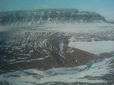
View from Greenland across Kennedy Channel towards Ellesmere Island on the horizon, view is to the north-west.
|
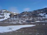
The Twin-Otter to the right on Greenland, Kennedy Channel to the left, view is to the north-west.
|
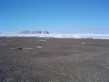
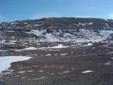
Not much vegetation here ...
|
Hey, I see some reddish lichens in the foreground!
|
Kelly all alone taking pictures in polar bear country, Greenland.
|
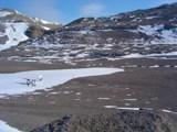
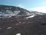
Will this become our 2-month camping site in the spring of 2005?
|
View to the north-west from Greenland across Kennedy Channel towards northern Ellesmere Island, Canada.
|
Under this ice-covered southern Kennedy Channel we have 17 moorings hopefully recoding currents, salinity, temperature, and ice thickness.
|
Twin-Otter getting ready to head back home ...
|
People taking hikes in different directions heading towards the icecap of Greenland blinking in the background.
|
The valley of the ...
|
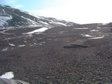
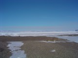
Gravel of Greenland in the spring.
|
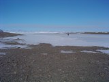
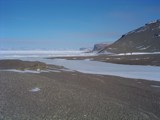
Almost at sea level looking down the valley towards Kennedy Channel, Ellesmere Island in the background.
|
Ridge ice off Greenland with Ellesmere Island in the background?
|
Crozier Island to the left?
|