Physical Ocean Science and Engineering
University of Delaware
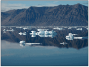
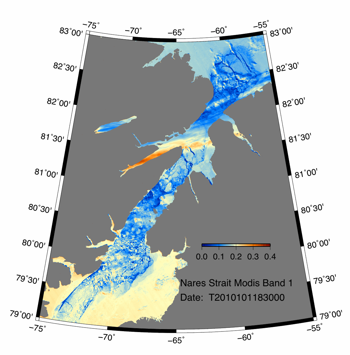
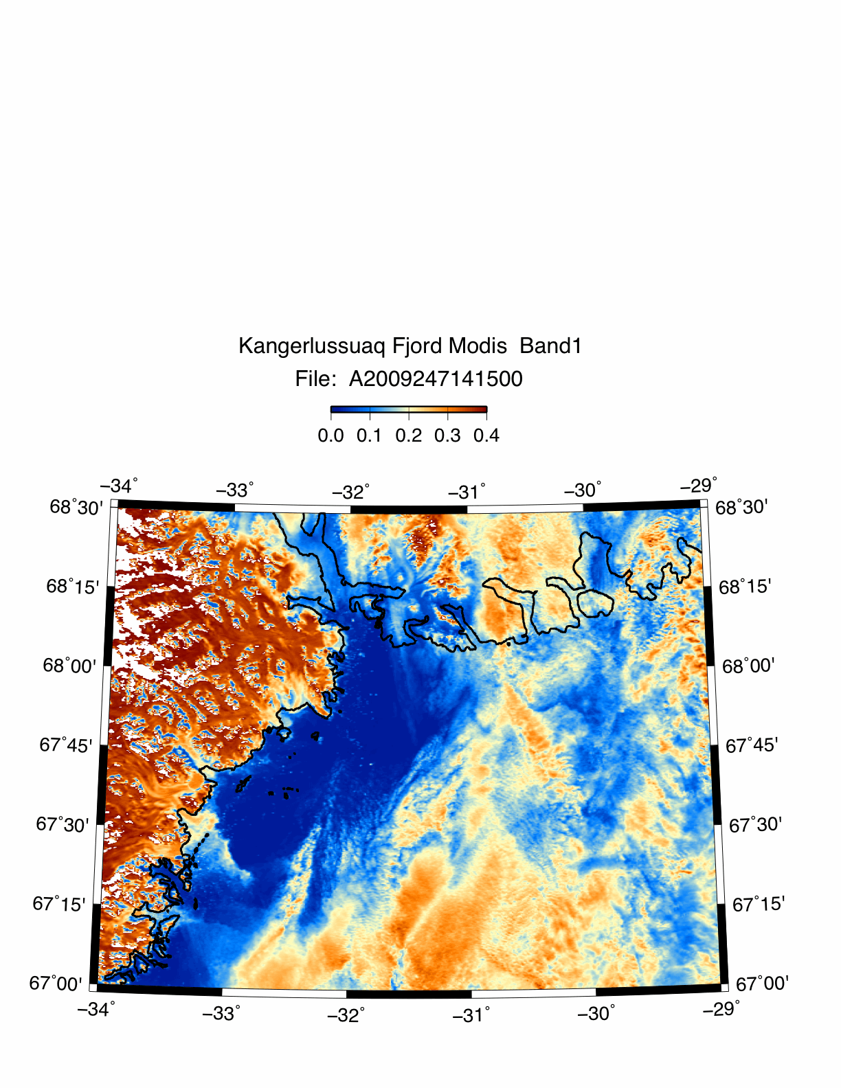
This image of Nares Strait, derived from data collected by NASA's Terra
and Aqua Satellite imaging systems, was created using publicly available
MODIS data files
and utilities. Seadas
programs and FORTRAN code as well
as GMT software were used in the
production. All processing was performed on a MacBook Pro.
Processing Hierarchy Chart:
a simple chart of the processes used to produce the image from MODIS data files. Click on processes
highlighted in blue to view code authored or modified by me. Yellow highlighted code is the version of MODIS scripts utilized in processing.
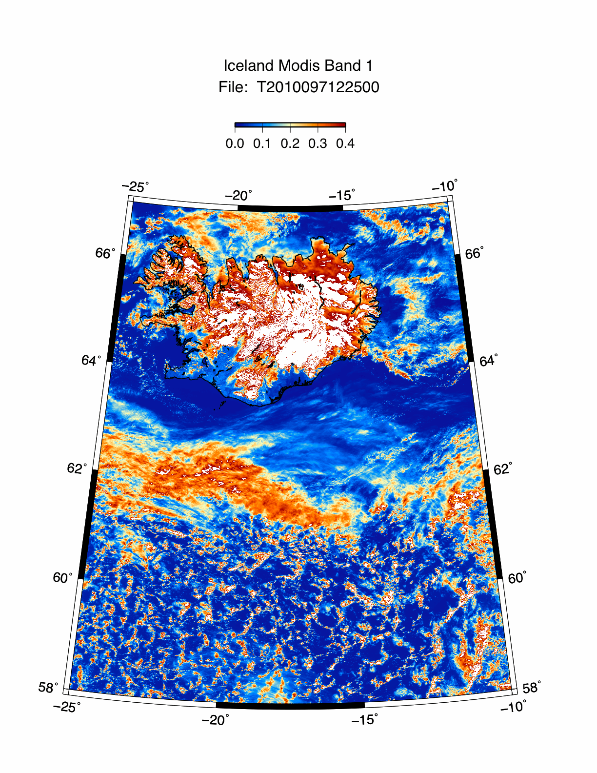
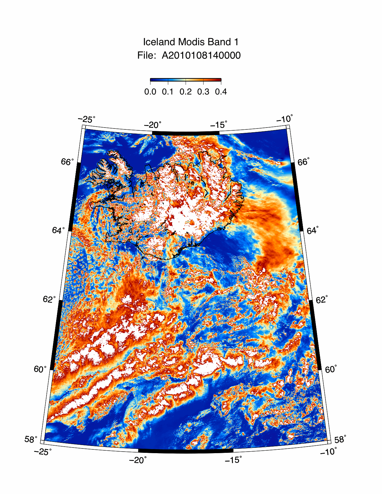
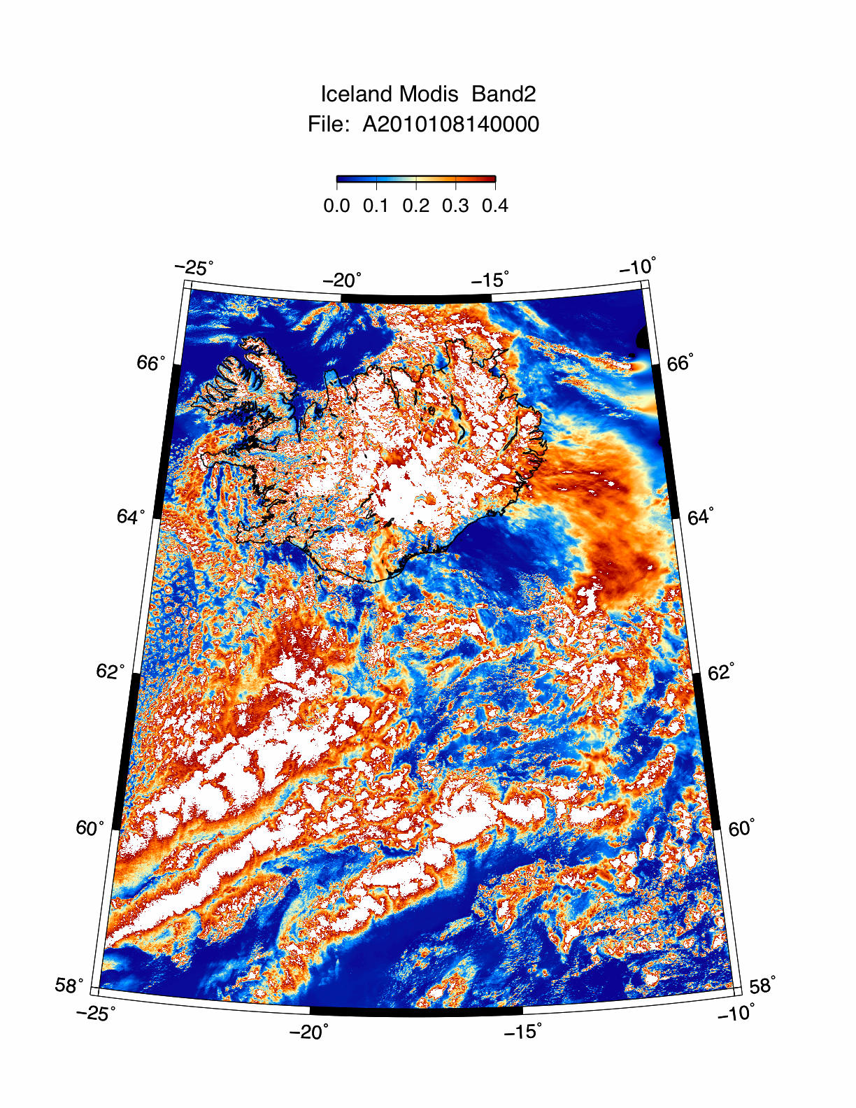
Group 3 - Images of Iceland's Eyjafjallajokull Volcano, April 2010