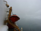
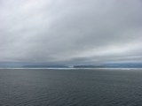
Starting the first ADCP section across Kennedy Channel from Ellesmere Island.
|
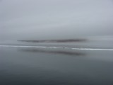
The fog is thick off Ellesmere only, clear air off Greenland a little later.
|
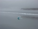
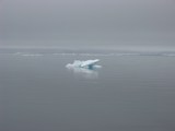
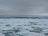
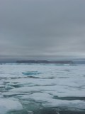
Remnants of icy bits.
|
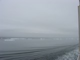
View towards the south-west as the USCGC cutter steams towards Greenland in the east.
|
Greenland in the background, notice that we are moving out of the fog.
|
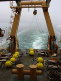
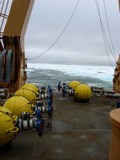
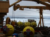
ADCP urrent meter moorings lay at the ready to be deployed on this section after this initial survey of currents (ADCP) and bottom (SeaBeam).
|
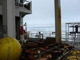
A closeup of moorings assembled ready for deployment on the aft-deck of the USCGC Healy.
|
Greenland, we will need to cut through the patch of ice to reach our waypoint and first mooring deployment location.
|
View of Crozier and Franklin Island in Kennedy Channel with Greenland in the background, view is to the north-east.
|
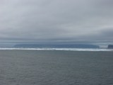
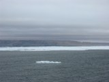
Franklin Island off Greenland, notice the thick ice center-right that probably originates from Peterman glacier to the north.
|
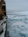
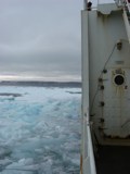
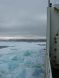
Entering a "patch" of multi-year ice off Greenland to reach our first mooring deployment site.
|
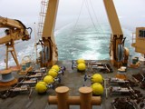
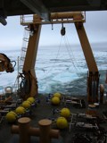
Cutting through tne ice, ADCP moorings ready for deployment.
|
Yikes, the hull-mounted ADCP of the USCGC Healy is still on and collecting good data!
|
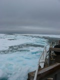
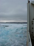
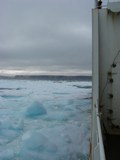
Multi-year ice as we are approaching Greenland at the southern entrance of Kennedy Channel.
|
Crozier Island with Petermann glacier ice; ADCP transducers and anchor chains litter the aft-deck of the USCGC Healy.
|
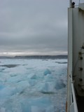
Tryng to reach our deployment location ...
|
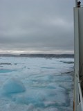
Crozier Island off Greenland, thick Petermann ice along with multi-year ice entering Kennedy Channel from Kane Basin in the south.
|
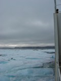
Multi-year ice breaking.
|
Breaking ice 2 ...
|
Breaking ice 3 ...
|
Breaking ice 4 ...
|
Breaking ice 5 ...
|
Breaking ice 6 ...
|
Breaking ice 7 ...
|
Eight ADCP moorings ready for deployment.
|